Would You Rather...

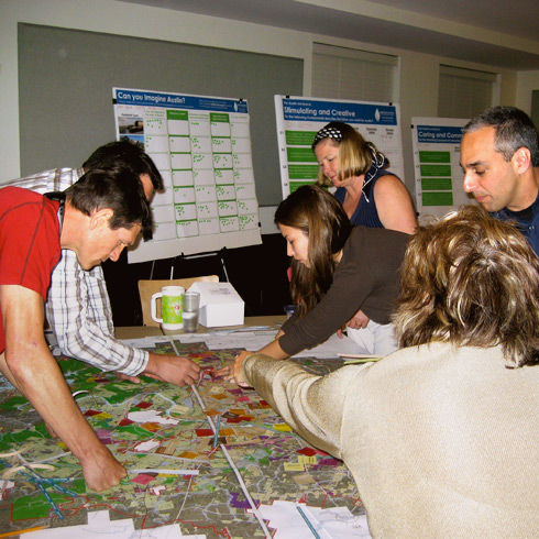
How scenarios can inform the planning process.

density, development patterns, infrastructure, multimodal transportation, stormwater, transit, transportation, scenarios

Author

Andrew Dobshinsky

Editor

Talia Manning

Artist

Brittany Coyle

Imagine your city will be home to twice as many people in 50 years.

Would you rather widen roads to accommodate your new neighbors or build a new transit line? Would you rather a wooded lot give way to new housing or a vacant property be redeveloped? Will your answers change if you know that one option costs more than the other? What if one of the sites is located just down the street from your house? What if one option led to the erosion of a nearby riverbank?

By presenting the public with alternative scenarios, planners are able to get feedback about how residents envision the future of their city.

Scenario planning often involves distributing a fixed amount of growth across a fixed area in varying configurations, while imagining the transportation networks necessary to facilitate movement across those development patterns. Residents can engage in the process of developing scenarios by placing chips or stickers on a map.

Once a set of scenarios is developed, economic, environmental, and social impacts can be described or measured. Frequently, scenarios are chosen that represent extreme views of the future to highlight differences. By presenting the scenarios and their impacts to the public, residents can make an informed decision about which scenario (or parts of a scenario) best reflect their view of the future.

Imagine Austin Comprehensive Plan
Union County Comprehensive Plan
Connections 2040: Corridor MPO Long Range Transportation Plan

cj9e936h800o17ersokxomm69